Your route, as a cartoon fly-through
Use a GPX or FIT file from your ride, run, walk or drive, or create a route on a map in a few clicks. ToonRoute builds a bright toy-town world of your route, with its hills, towns and stops, and films it as a cartoon route video. New to this? Here is how to turn a GPX file into a video.
Use my route file
- GPX
- FIT
- KML
- KMZ
- GeoJSON
- Drone SRT
From Strava, Garmin, Komoot, a drone or any GPS app. Or drop it here.
Your projects
Saved in this browser. Open one to carry on where you left off.
Why a cartoon?
There are plenty of tools that turn a GPX file into a video, and most of them fly a camera over satellite photos. They are accurate, and after the first minute they all look much the same.
We make PitStopper, which helps you plan a ride or a trip: where the water is, the cafés, the climbs. Once you are home, we wanted something that shows off the journey instead, and is fun to watch. So ToonRoute builds a cartoon version of the real landscape you just rode, walked or flew through: the same hills, rivers, towns and coast, the castle you passed and the col you climbed, as a toy-town world.
We are still working on the finer details, so ToonRoute is free until January 2027.
Built from real maps, not AI
No AI dreams up your landscape. Every hill, road, river and village in the video is there because a map says so.
The ground is real elevation data (Mapzen's terrain tiles, from USGS, NOAA and other surveys), so a climb has its true height and shape. Roads, rivers, lakes, coastline, woods, fields and buildings come from OpenStreetMap, the map that volunteers draw and keep up to date, and so do the churches, castles and lighthouses along your way.
On top of that go hand-made 3D models: houses, trees, boats, cows and sheep from artists who share their work (all named on the credits page). Our code decides what goes where: houses where the map has buildings, a castle where there really is one, goats on the steep ground, sheep on the hill pasture, boats only on open water. It is drawn with three.js, in your browser for the preview and on our own server for the finished video, and the same route always gives the same picture.
How it works
Upload a GPX or FIT file from Strava, Garmin, Komoot or PitStopper, or create one by picking a start, an end and stops on a map.
Pick a look (sunny, golden hour, night, winter, paper map, blocky), a character, the camera and the music. The preview shows exactly what the video will be.
Pick 720p, 1080p or 4K: the video is made on our servers while you watch, and you download it from the page. The preview shows it first, frame for frame.
Examples
A few rides and walks, made with ToonRoute.
What goes into a video
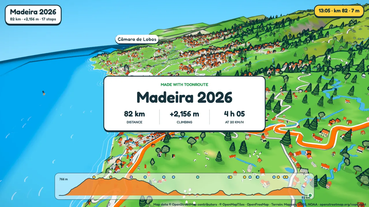
All the pictures below are frames from the Madeira example, drawn by the same renderer that makes the videos. Nothing has been touched up.
- Your routeA GPX or FIT file, or a route made on the map in the app.
- The world is builtTerrain, roads, rivers, woods and buildings from open map data along your line.
- You set it upLook, weather, character, camera, signs. The preview plays as you change things.
- We film itOur render server draws every frame at 720p, 1080p or 4K.
- You download itRight from the page, or from a link we email you if you like. The video is kept for seven days, or an hour after you download it.
The country you actually rode through
ToonRoute takes the real height of the ground along your route and the map around it, then builds it again as a model railway sort of place. Roads you passed, the river you followed, the town square, the woods on the hill.
Houses go where houses are on the map. Real landmarks near the road turn up as models: castles, churches and chapels, windmills, watermills, lighthouses, clock towers. Cows and sheep graze in the fields and a few boats sit off the harbours. Hills are drawn twice their real height by default, because true height tends to look flat from above. You can set them true to life, or up to three times.
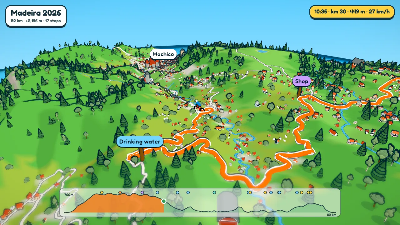
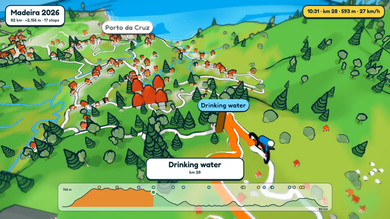
Stops, climbs and names along the way
The waypoints in your file stand beside the road as signposts: cafés, water, shops, toilets, fuel, campsites. The character slows down for each one and stops for a few seconds while its name comes up on screen. Add your own, or change what a sign says, in Sign posts.
Running an event? Put the feed stops and checkpoints in the GPX, or add them in the app, and play the video at the rider briefing. How to make an event video.
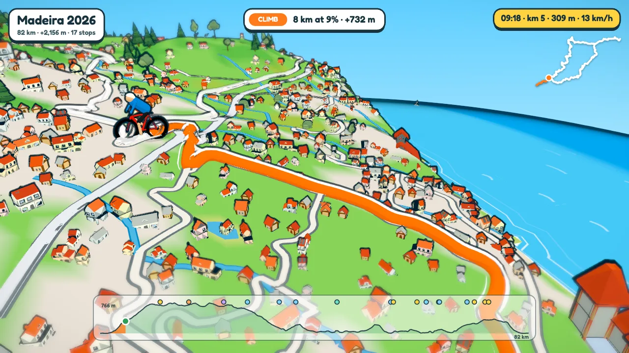
Climbs are found from the heights in your route. A banner comes up on each one with its length, average gradient and the metres to the top, and if it is a known climb (about 1,200 are on our list, from Alpe d'Huez to the Bealach na Bà) it gets its name. Towns, passes and peaks are captioned as you reach them.
The elevation chart fills in as you go, with a dot for every stop. Turn on the route map for a small outline of the whole ride in the corner.
Six looks, four kinds of weather
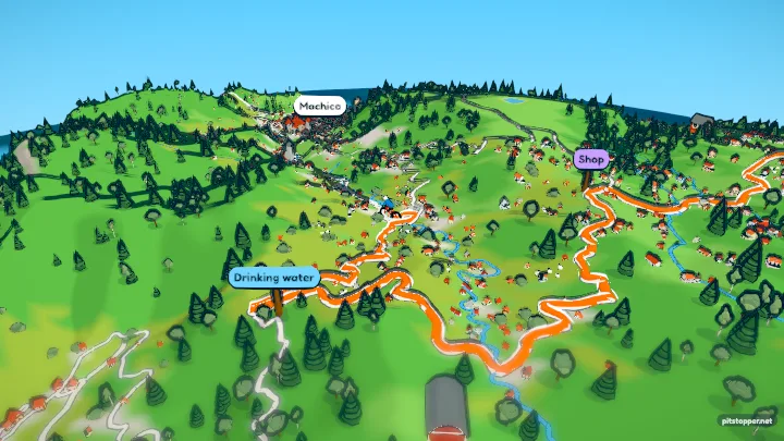
Sunny, golden hour, night, with the towns lit up, winter, a paper map and a blocky low-poly one. Weather is fine, cloudy, rain or snow, with the clouds from none to lots.
Two settings come from the ride itself. The ride's clock lights the world by the time of day in your file, so a ride that started at dawn starts in dawn light and the sun moves as you go. And Use the day's weather looks up what the weather really was on the day, at that place, and sets it for you.
 Sunny
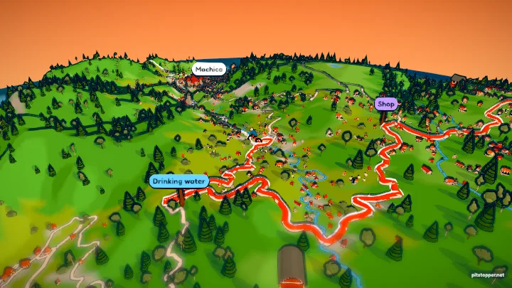 Golden hour
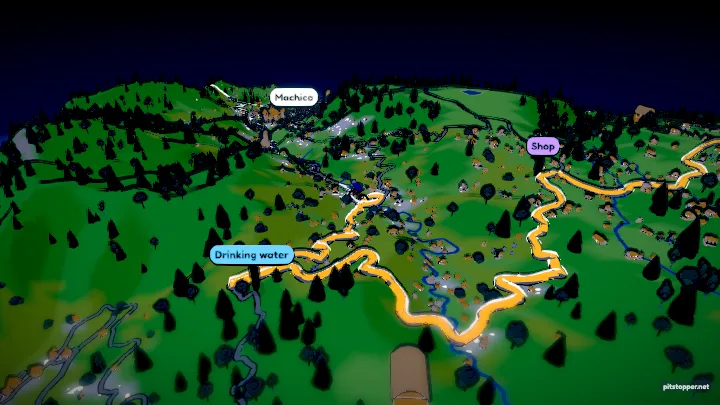 Night
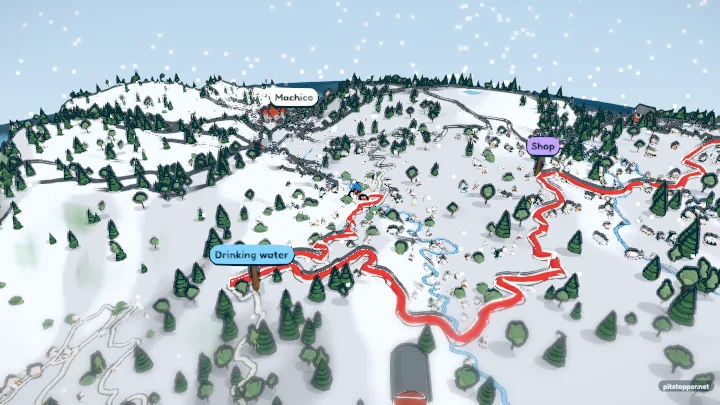 Winter
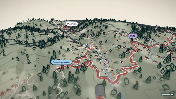 Paper map
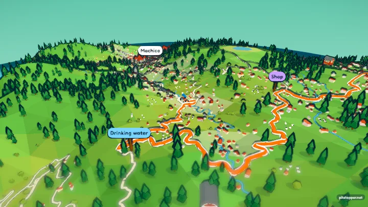 Blocky
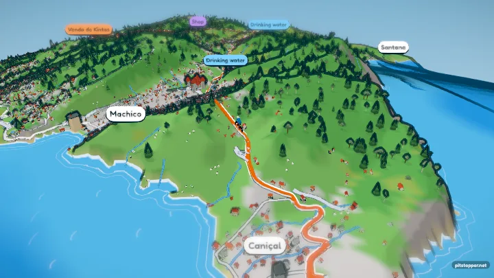 Cloudy
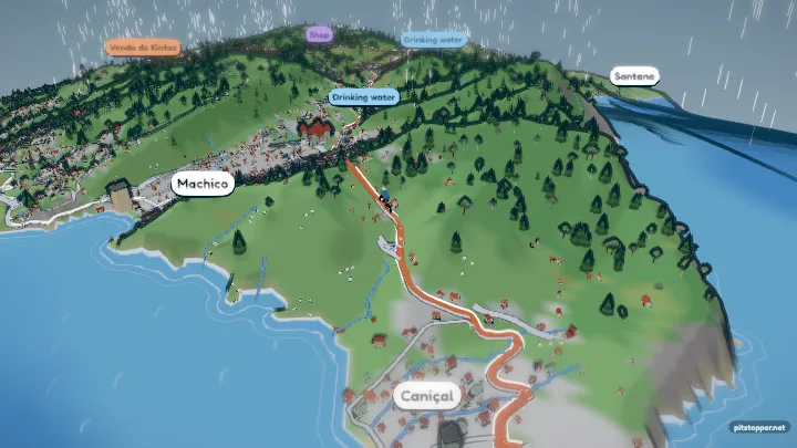 Rain
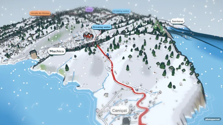 Snow
Who goes
A cyclist, a walker or a runner (a robot, a woman or a man), a car, a kayak, a helicopter, a drone with spinning rotors, a little plane, a dinosaur, a bee, or just a map pin. Pick a road or a mountain bike and its colours, or the car model.
They have a bit of character, too. The cyclist gets out of the saddle on the climbs, tucks in on the way down, puts a foot down at each stop and throws both arms up at the top of a big climb and at the finish. Walkers and runners celebrate with a jump or a dance.
Speed can follow the times recorded in your file, hold a steady pace, or take an average that slows on the climbs and picks up on the way down. The walker breaks into a jog above 7.5 km/h, and the runner sprints above 13.5 km/h. Flyers can stay low over the ground, go up under the clouds or climb above them.
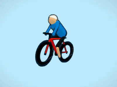 Cyclist
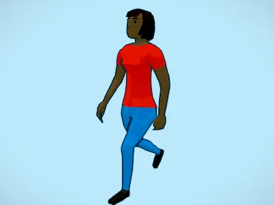 Walker
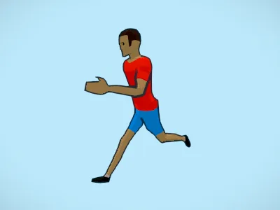 Runner
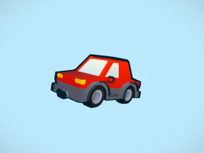 Car
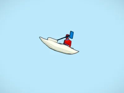 Kayak
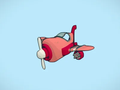 Plane
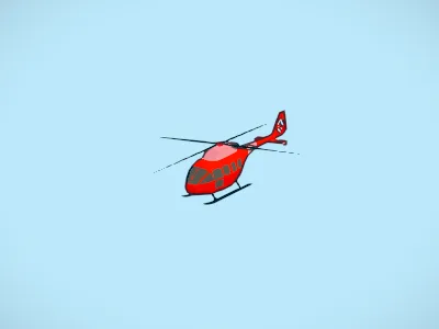 Helicopter
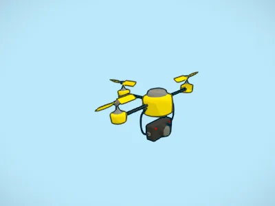 Drone
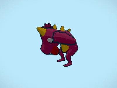 Dino
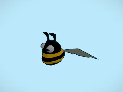 Bee
A camera that knows where to look
On Auto, the camera reads the route before it starts. It films climbs from the side, twisty roads from up high, and saves its best shots for a few moments it picks out: the top of the ride, the road coming out at the sea after a long stretch inland, a castle or church beside the road. The ride slows a little through those.
The video can open on the whole route from above, or from space, dropping down through the clouds onto the start. It ends pulling away, with a card of the ride's distance, climbing and time.
Or direct it yourself
Choose Video editor in the Video settings and the video turns into a strip of clips, starting from the shots Auto would have used. Click a clip and give it a camera: follow, side-on, drone, circling, overhead, pull away, or a view you frame yourself by dragging the picture. Split a clip where you want a change, drag the edges to retime, and pick whether each one cuts in or glides in from the last.
- A clip's width is how long it plays
- Follow glides in, the others cut
The two-minute guide beside this shows the editor at work, with a voice-over.
Wide or tall
Every video comes in 16:9 for YouTube and big screens, or 9:16 for phones, Reels, TikTok and Shorts. The preview changes shape with it, so you frame your shots for the screen they will be watched on. The banners, chart and captions are sized to the tall picture, not squashed into it.
A sensible length
On Auto, a video gives about 1.6 seconds to each kilometre, never less than a minute and never more than six. The 82 km Madeira loop rides in a little over two minutes, then each stop adds its pause; the 186 km Tour stage rides in about five. You can also pick a length from 45 seconds to six minutes, or turn the stops off in Track for a straight run through.
Add one of four music tracks, or none. Projects keep a route with all its settings and camera clips in your browser, and download as a file. Saved settings, in the same panel, keep a look you like, ready to use on the next route.

Made on our servers
The preview is drawn by your browser. The video is not: when you press Make the video, your route and settings go to our render server, which draws the whole thing frame by frame at 720p, 1080p or 4K. The page shows how it is getting on and gives you a Download button when it is done; leave an email address and we send the link too. It is the same picture you saw in the preview, frame for frame, so there is nothing to guess.
It is free during the beta: one video at a time, up to six a day. After that a video will cost a small amount. See the prices.

Guides
Step by step, for the kind of trip you have.
- Turn a GPX file into a videoFrom Strava, Garmin, Komoot or Wahoo to a finished video.
- A fly-through of your bike rideClimbs, cafés and a camera that films the cols from the side.
- A video of your hike or walkPeaks, passes and the pub at the end, at walking pace.
- A running route videoYour race or long run, with your own pace from the watch.
- Tall videos for Reels and TikTok9:16 route videos framed for a phone.
- A flight path animationPlane, helicopter or drone over the country you flew.
- A route video for your eventThe course, feed stops and checkpoints, for a rider briefing.
- A cartoon video of your road tripA car on the real roads, with the fuel stops on signs.
- A Tour de France stage as a cartoonA stage from its GPX, with the cols named on banners.
- A fly-through of a famous climbAlpe d'Huez, Ventoux or the Stelvio, up to the summit.
- From a Strava activity to a videoExport the GPX from Strava, then make the film.
- ToonRoute and Relive comparedWhat each one does, and which suits what.
Who makes ToonRoute
ToonRoute is made by the team behind PitStopper, the route planner that finds the water, cafés, fuel and climbs along your way. Questions, ideas or a video that went wrong: get in touch.
Questions
Is it free?
Yes, while ToonRoute is in beta, until January 2027: 720p, 1080p and 4K videos are free, one at a time and up to six a day. After the beta a video will cost a small amount: see Pricing.
Which files can I use?
GPX and FIT files: the exports from Strava, Garmin Connect, Komoot, RideWithGPS, Wahoo and PitStopper all work. KML and KMZ (Google Earth, My Maps), GeoJSON, and the SRT flight log a DJI drone writes beside each video work too. Waypoints in the file become the stops.
How do I choose the camera myself?
Pick Video editor in the Video settings: the video becomes a strip of clips, each with its own camera, to split, retime and glide or cut between. This 2-minute guide shows how.
How do I get the video?
You watch it being made on the page, then press Download. You can leave the page: come back in the same browser and it carries on, or give an email address and we send you the link when it is ready. There is no account and no confirmation email.
Is there a short version for sharing?
Yes: every video comes with a free 30-second highlights cut of the same route, in the same shape, to download beside it.
Is there a watermark?
A small ToonRoute · pitstopper.net mark in the corner, and the opening and closing cards say where the video was made.
How long are videos kept?
A server-made video is deleted an hour after you download it, or after seven days, and its route once the video is made.
How long can a route be?
Up to about 200 km across. A longer ride makes a longer video, about 1.6 seconds of riding a kilometre and up to 6 minutes; or pick the length yourself.