A video of your hike or walk
After a good day on the hills, a map with a red line on it does not say much. ToonRoute turns the GPX from your watch or phone into a cartoon film of the walk, with the ridges, the lake you went round and the summit you were pleased to reach.
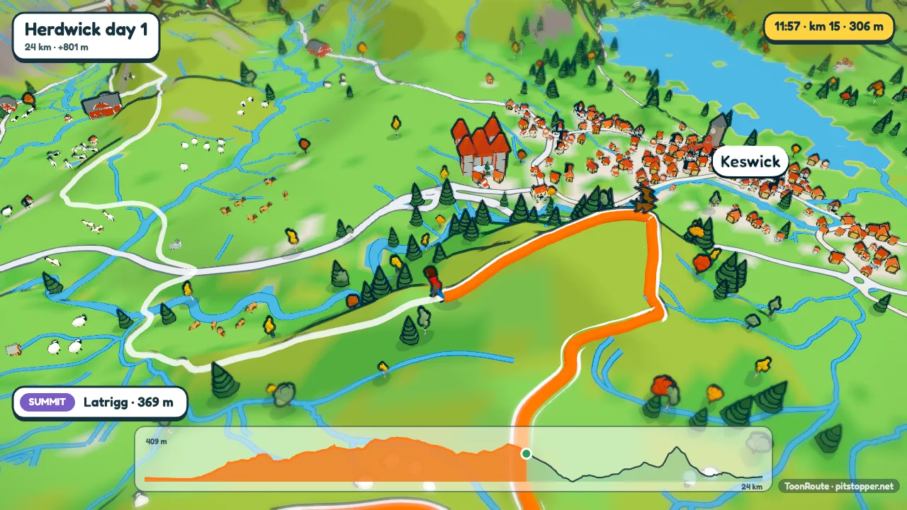
What you see
The terrain is the real ground, from open elevation data, with the woods, fields, lakes and streams from OpenStreetMap. Peaks and passes along the way are captioned as you reach them, and with Peak names turned on in Landscape, the summits round about are labelled too.
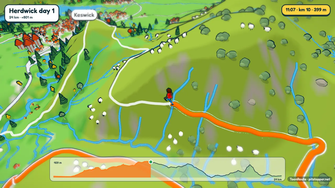
The walker goes at about 5 km/h on the flat and slows on the way up, the way people do. If your file has times you can use your real pace instead, and the figure breaks into a jog wherever you were going faster than 7.5 km/h. Pick a robot, a woman or a man, and the colours of their top and trousers.
Waypoints in the file stand as signposts beside the path, and the walker stops at each: the café, the bothy, the pub at the end.
Step by step
- Get the GPX. From Komoot, OS Maps, AllTrails, Strava or a Garmin, or plan the walk in the app with Create a route and Go by set to walking. It follows paths and tracks a walker can use.
- Load it with Use my route file. The world builds in your browser.
- Choose the Walker in Character, and the figure.
- Pick a look. Winter for a snowy day out, golden hour for a summer evening, or the paper map look if you want something that reminds you of a folded map.
- Pick the length. A short walk makes a short video: Auto gives at least a minute, so a 15 km walk is a minute long. Choose a longer one in Video if you want more time on the views.
- Make the video, watch it being made, and download it from the page. You can have the link emailed too.
Tips
- Mountains already look big. Try Hills set to true to life before you try Dramatic.
- The Map camera looks straight down on the whole route, a good closing shot in the Video editor for a circular walk.
- A walk with many short climbs can fill the screen with banners. Climb banners can be turned off in On screen.
- Trees sway and cows and sheep graze in the fields. If that is too busy for you, both can be turned off in Landscape.
Questions
Which apps can I use?
Anything that exports GPX or FIT: Komoot, OS Maps, AllTrails, Strava, Garmin Connect, Suunto and others. KML, KMZ and GeoJSON work too; if the app only gives you TCX, convert it to GPX first.
Can I show a long-distance trail?
Each day can be up to about 200 km across. Load the trail with one track a day and choose Whole tour in the Days list: up to 10 days in one video, each with its own chapter card. A longer trail is best as one video for each stage.
Does it show the paths I walked on?
Your own route is the orange line, whatever it ran along. Other roads are drawn too: main roads by default, or all of them, or none, in Landscape.
What if my watch lost GPS in a valley?
A short gap shows as a straight line between the points either side. A messy track with a lot of jitter is best cleaned up before you load it.
Use my route file Create a route
Other guides
- Turn a GPX file into a video
- A fly-through of your bike ride
- A running route video
- Tall videos for Reels and TikTok
- A flight path animation
- A route video for your event
- A cartoon video of your road trip
- A Tour de France stage as a cartoon
- A fly-through of a famous climb
- From a Strava activity to a video
- ToonRoute and Relive compared
- Everything ToonRoute does