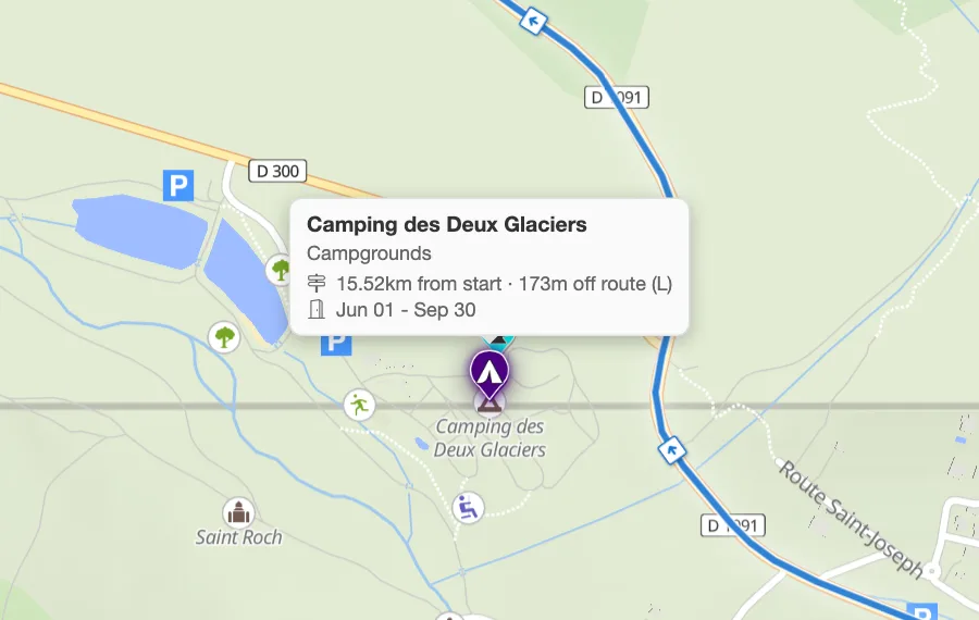
The Motorcyclist preset
Fuel, mountain passes, viewpoints, cafes, pubs and beer gardens, motorcycle shops and parking, compressed air, services, ferries and toll booths.
More in the helpPitStopper for motorcyclists
A good ride is a fuel range and a handful of places worth stopping. PitStopper shows both along your route: where the next fuel is, which passes you cross, and where the bikes park outside a good cafe.
Bring a GPX from your usual planner, or plan the ride here with road profiles.
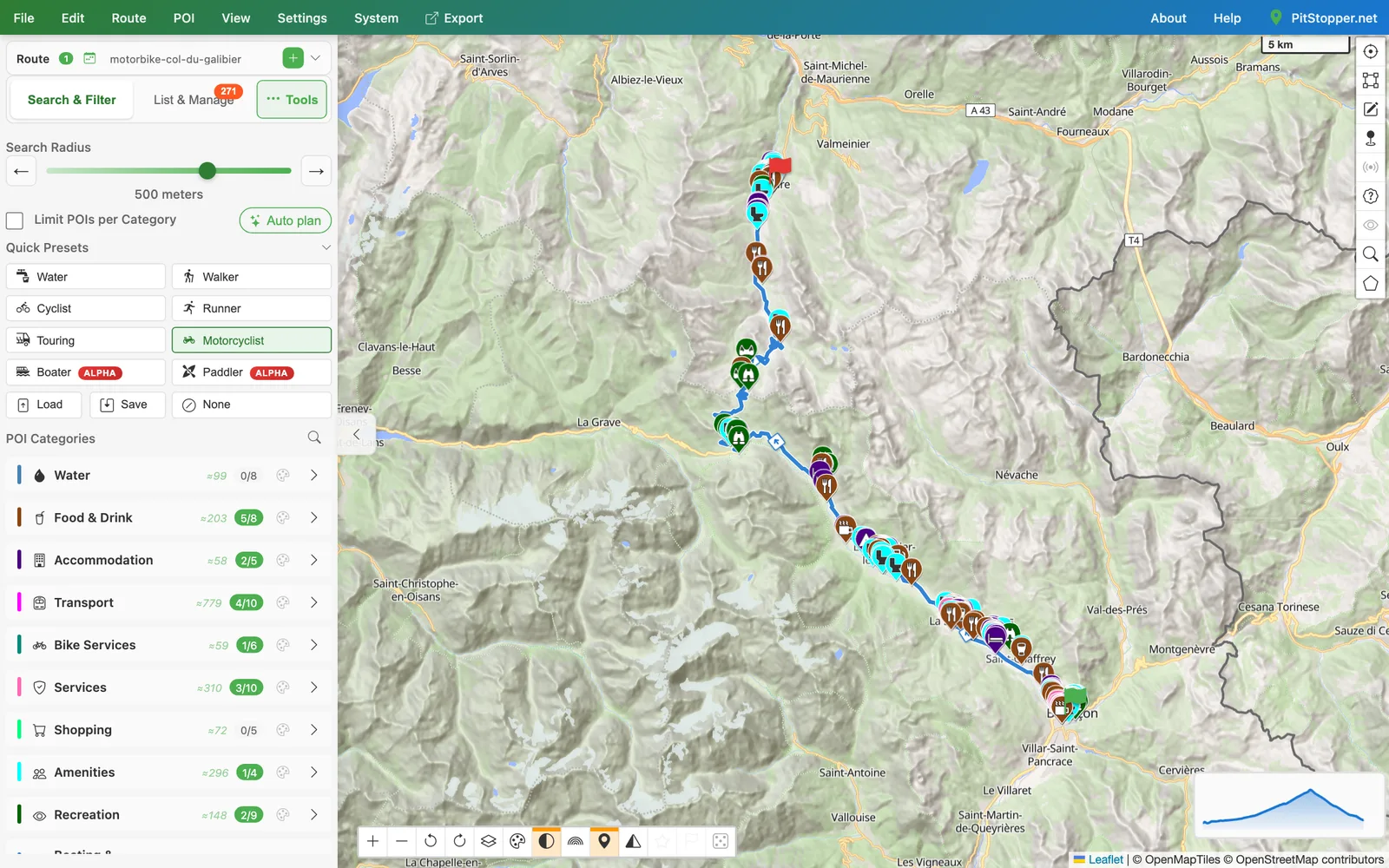
Fuel, mountain passes, viewpoints, cafes, pubs and beer gardens, motorcycle shops and parking, compressed air, services, ferries and toll booths.
More in the helpThe Motor activity plans with fast, economical or moped profiles, and times the ride at road speed.
More in the helpStations are listed along the route, with prices where a national price feed exists.
More in the helpMountain passes are a POI category of their own, and the elevation profile shows the climb up to each.
More in the helpAsk for other routes between the same points and compare their length and time before you choose.
More in the helpExport a GPX or FIT file with turn-by-turn cues and your stops as waypoints.
More in the helpOpen Briançon to Valloire over the Col du Galibier 56 km up to 2,642 m, planned with the Motor profile. Download the GPX.