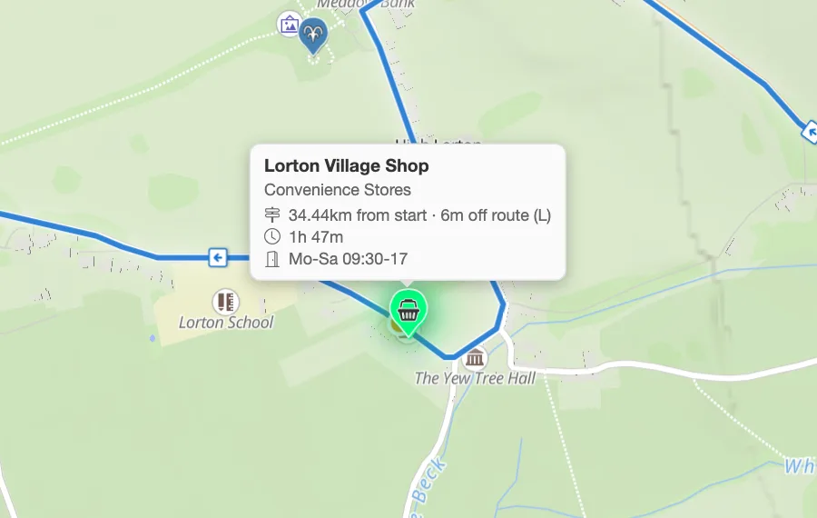
The Cyclist preset
Water and springs, cafes and restaurants, toilets, bicycle repair, parking and rental, and convenience shops, in one tap.
More in the helpPitStopper for cyclists
Ride-planning for a bike is mostly two questions: where do I refill, and how hard is the next hour. PitStopper answers both from your route file, then lets you take the answer to a bike computer.
Load a GPX from your usual planner, or build a route here with road, gravel and mountain-bike profiles.
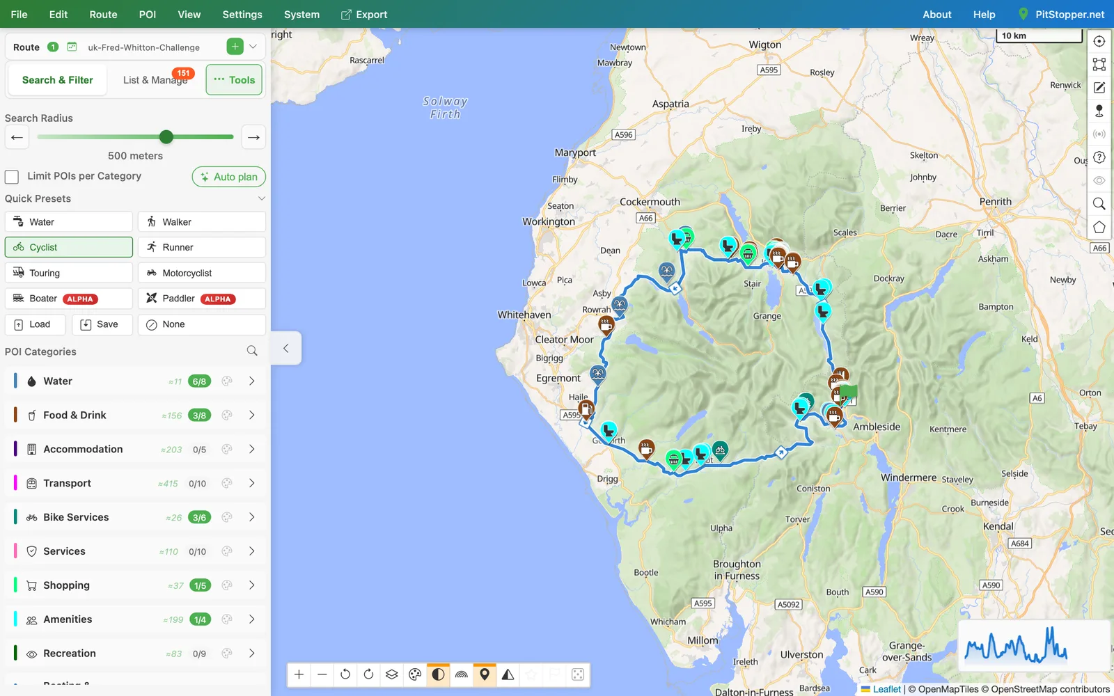
Water and springs, cafes and restaurants, toilets, bicycle repair, parking and rental, and convenience shops, in one tap.
More in the helpPlan with road, low-traffic road, touring, gravel or mountain-bike profiles, or ask for a round trip from a start point.
More in the helpWell-known climbs near your route are named on the map, and the elevation profile is coloured by steepness, so the wall at 80 km is not a surprise.
More in the helpLearns how fast you climb and descend from your recorded rides, so the time estimate is yours rather than a textbook average.
More in the helpA long stretch with no water or food is marked, so you know where to fill up before it.
More in the helpExport a FIT course with turn-by-turn cues and your stops as course points, or a GPX for other devices.
More in the helpOpen Fred Whitton Challenge, Lake District 110 km with Hardknott and Wrynose, so the climbs show. Download the GPX.