PitStopper videos
 Your first route with PitStopper, start to finish
4:05
A walkthrough for new users: plan a loop round Madeira on the map, set the start date and time, find drinking water and cafés along it, read the elevation chart and the POI graph, and export a FIT course for a Garmin.
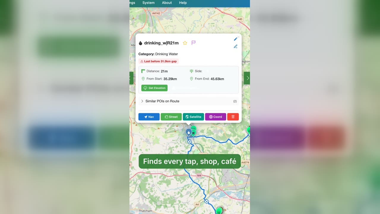 PitStopper in 60 seconds: plan, find water, ride
1:03
A one-minute intro to PitStopper: plan a route in Komoot, import the GPX, find every tap, shop and café along it, see where the water runs out, and ride with alerts on your bike computer.
 PitStopper trailer: know your stops before you go
0:57
The PitStopper trailer: drop in a route from any planner and see the water, cafés, fuel, bike shops and places to sleep along it, what will be open when you get there, every climb, and the best order for your checkpoints.
 Eight things PitStopper does that most route planners leave out
1:28
A narrated tour of eight PitStopper features: Plan Stops, hazards along the line, fuel prices and food hygiene ratings, the POI graph, turn-by-turn GPX for Locus Map and Cruiser, the 3D view, emergency places for when there is no signal, and the top-tube sticker.
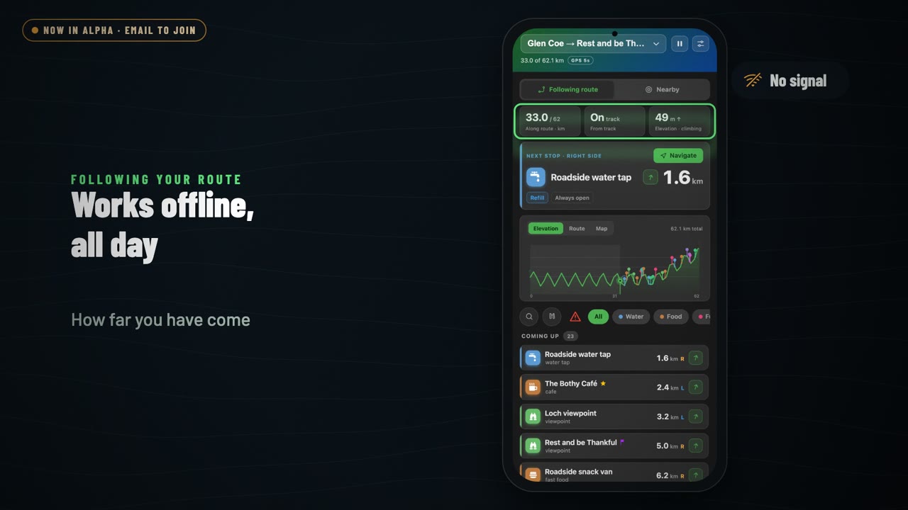 PitStopper On-the-go: a tour of the Android app
1:36
A tour of PitStopper On-the-go, the Android companion app: send a route from the website with a QR code, follow it with no signal, hear about the next stop before you reach it, search what is nearby or still ahead, and keep emergency places saved along the way.
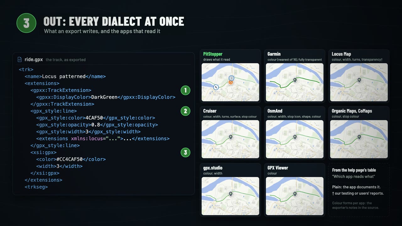 What's inside a GPX file, and how PitStopper reads the extras
3:00
An explainer on the parts of a GPX file, from online planners like Komoot and Strava and from apps like Garmin, Locus Map, OsmAnd and Cruiser; the extras those apps add (track colours, widths, transparency, turn instructions, stop icons), how PitStopper reads them all into one picture of your route, and how it writes them back out in every dialect at once.
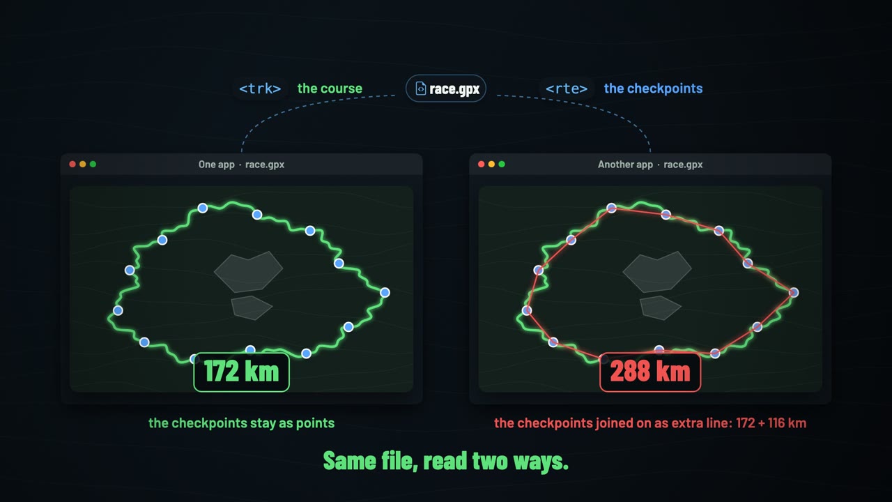 Tracks, routes and waypoints: the anatomy of a GPX file
2:18
Why the same race file can measure 172 km in one app and 288 km in another: the three kinds of thing a GPX file holds (waypoints, routes and tracks), what a router does, what to send to your device, what a file with both can mean, and how to tell them apart in the file whatever an app calls them.
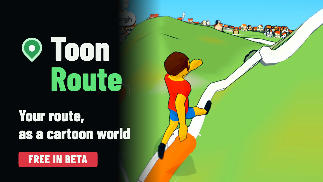 ToonRoute: your route as a cartoon video
1:40
The trailer for ToonRoute, PitStopper's sister app: drop in a GPX, FIT or KML route, or draw one, and it builds a bright 3D cartoon world from real maps, with your rider, runner, walker, car, kayak or plane going round it; looks, characters, the Multi-cam editor, a tall cut for your phone, and a tour of several days as one video.