What's inside a GPX file, and how PitStopper reads the extras
About this video
A GPX file is XML, built from a handful of standard parts, and most apps add extras of their own: track colours, line widths, icons on waypoints, turn instructions. This explainer goes through the parts, then the extras, and shows what PitStopper does with each one on the way in and on the way out.
Transcript
A GPX file is just XML, and most apps add extras of their own.
Routes come from online planners like Komoot, Strava and Ride with GPS, and from apps and devices like Garmin, Locus Map, OsmAnd, Cruiser and GPX Studio. All are built from the same standard parts.
The GPX root holds it all. Metadata describes the file. A waypoint is one place, like a stop. Track, segment and track point make the line. And extensions is a box for anything else.
Then the extras. Garmin names one of sixteen colours. GPX style gives colour, opacity and width. Cruiser's block puts the alpha first, and adds the surface.
OsmAnd puts icons on waypoints, turns ride on the track points, and Locus keeps its own line settings.
PitStopper gathers it all into one picture of your route: colour, width, transparency and turns.
Our aim is to read every element other planners and apps produce, and export them so other apps can import them too.
On export, it all goes out in every dialect at once. The track colour is written three ways: Garmin, then GPX style, then Cruiser's block.
Garmin only takes the nearest of its sixteen colours, with no width. Fully transparent means hidden in other apps.
Your stops get their OsmAnd icon, turns go back on the track points, and Locus's settings come back in step.
Icons travel three ways. A stop's symbol carries a Garmin name, like Restaurant, which Garmin, Locus Map, Cruiser, GPX Studio and GPX Viewer draw from their own sets. OsmAnd uses its own icon name and shape instead. And in a compressed GPZ file, PitStopper can send its own icons, for Locus Map and GPX Viewer.
It all stays valid GPX. An app that doesn't know an extra just skips it.
PitStopper. Know your stops before you go.
Where to find this in PitStopper
- PitStopper GPX extensions - every element the video mentions, and where it lives in the file
- How to read a GPX file - the standard parts, in more detail
- Import and export GPX, FIT and KML files - the export options
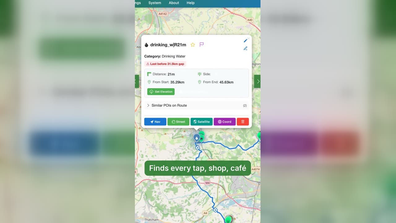 PitStopper in 60 seconds: plan, find water, ride
1:03
PitStopper in 60 seconds: plan, find water, ride
1:03
 PitStopper trailer: know your stops before you go
0:57
PitStopper trailer: know your stops before you go
0:57
 Eight things PitStopper does that most route planners leave out
1:28
Eight things PitStopper does that most route planners leave out
1:28
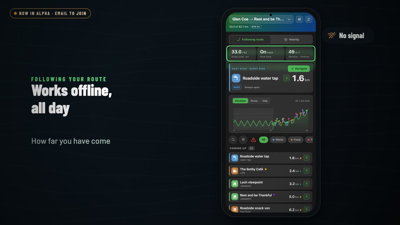 PitStopper On-the-go: a tour of the Android app
1:36
PitStopper On-the-go: a tour of the Android app
1:36