Eight things PitStopper does that most route planners leave out
About this video
Plenty of apps will plan a route. This one-and-a-half-minute tour shows eight things PitStopper adds once you have one, each on a real route.
Transcript
Plenty of apps will plan your route.
Here are eight things most of them leave out.
One. Plan Stops picks your stops through the day, and flags any stretch with nowhere to stop.
Two. Gates, cattle grids, stiles and steep ramps, flagged along the line before you reach them.
Three. Current fuel prices, and food hygiene ratings for UK cafés, right in each stop's details.
Four. The POI graph plots every stop by how far along the route it is, and how far off it, so the long gaps stand out.
Five. Plan a route here, and its GPX file carries turn-by-turn instructions, for the Locus Map and Cruiser apps.
Six. See your route in 3D, with your stops on the real terrain.
Seven. Send your route to your phone, and hospitals, defibrillators and mountain rescue within thirty-five kilometres come with it, for when there's no signal.
Eight. Print your stops on a top-tube sticker, with every climb to match.
PitStopper. Know your stops before you go.
Where to find this in PitStopper
- Features - each of the eight, with a short clip
- Finding places along your route - Plan Stops, the POI graph, fuel prices and hygiene ratings
- Import and export GPX, FIT and KML files - turn-by-turn GPX, Send to Phone and the sticker
- Elevation and terrain - the 3D view
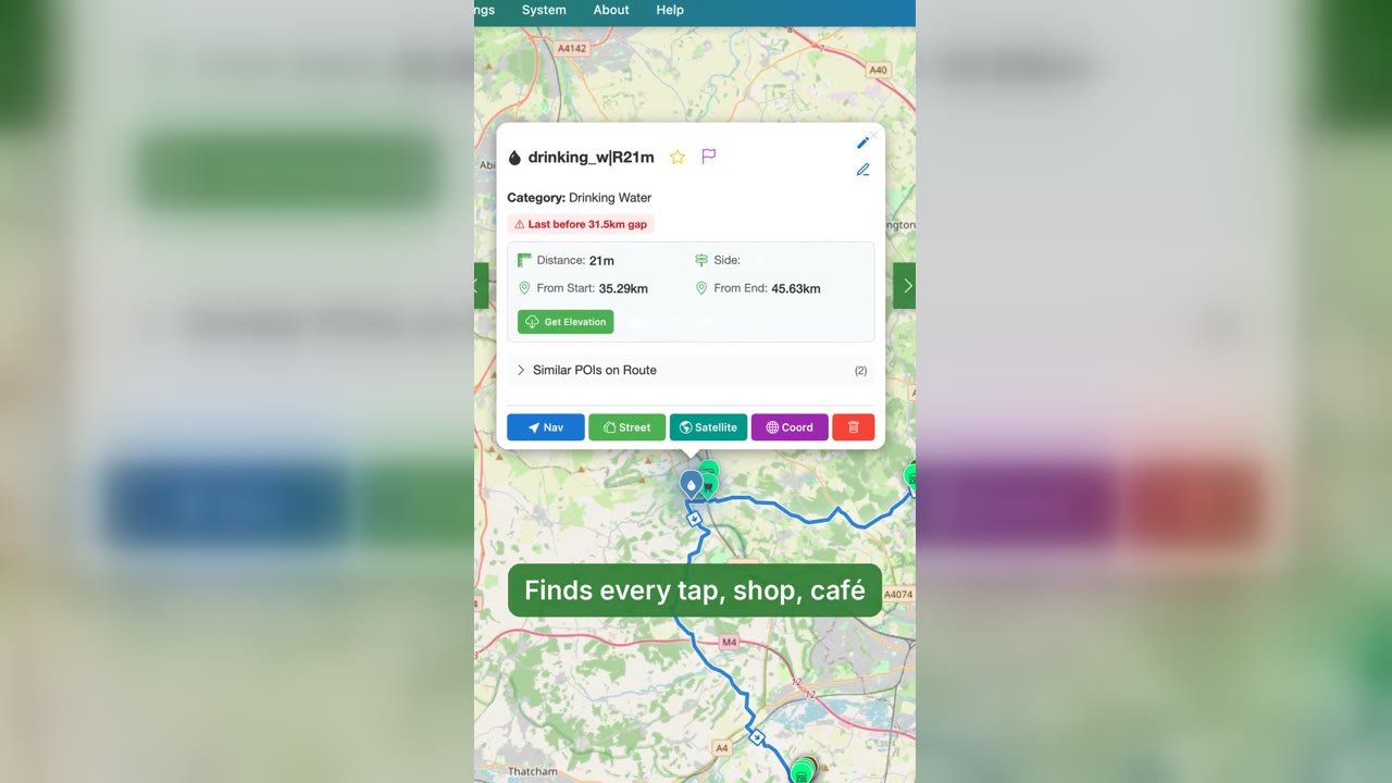 PitStopper in 60 seconds: plan, find water, ride
1:03
PitStopper in 60 seconds: plan, find water, ride
1:03
 PitStopper trailer: know your stops before you go
0:57
PitStopper trailer: know your stops before you go
0:57
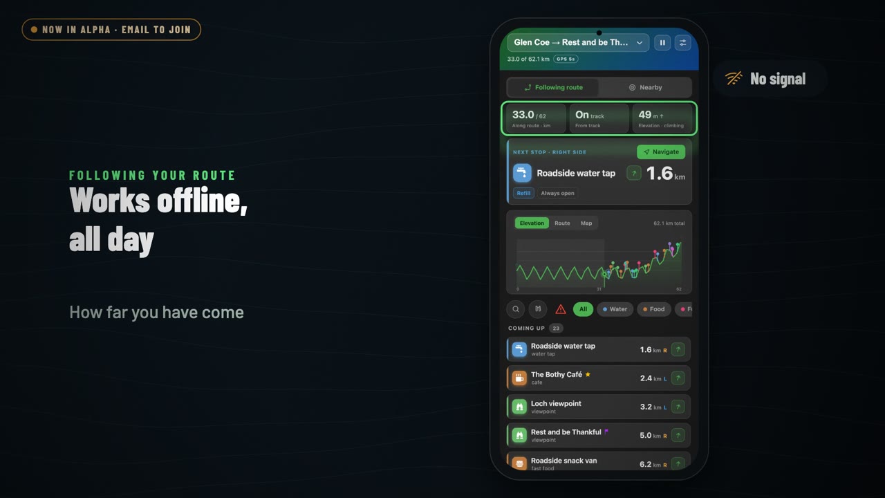 PitStopper On-the-go: a tour of the Android app
1:36
PitStopper On-the-go: a tour of the Android app
1:36
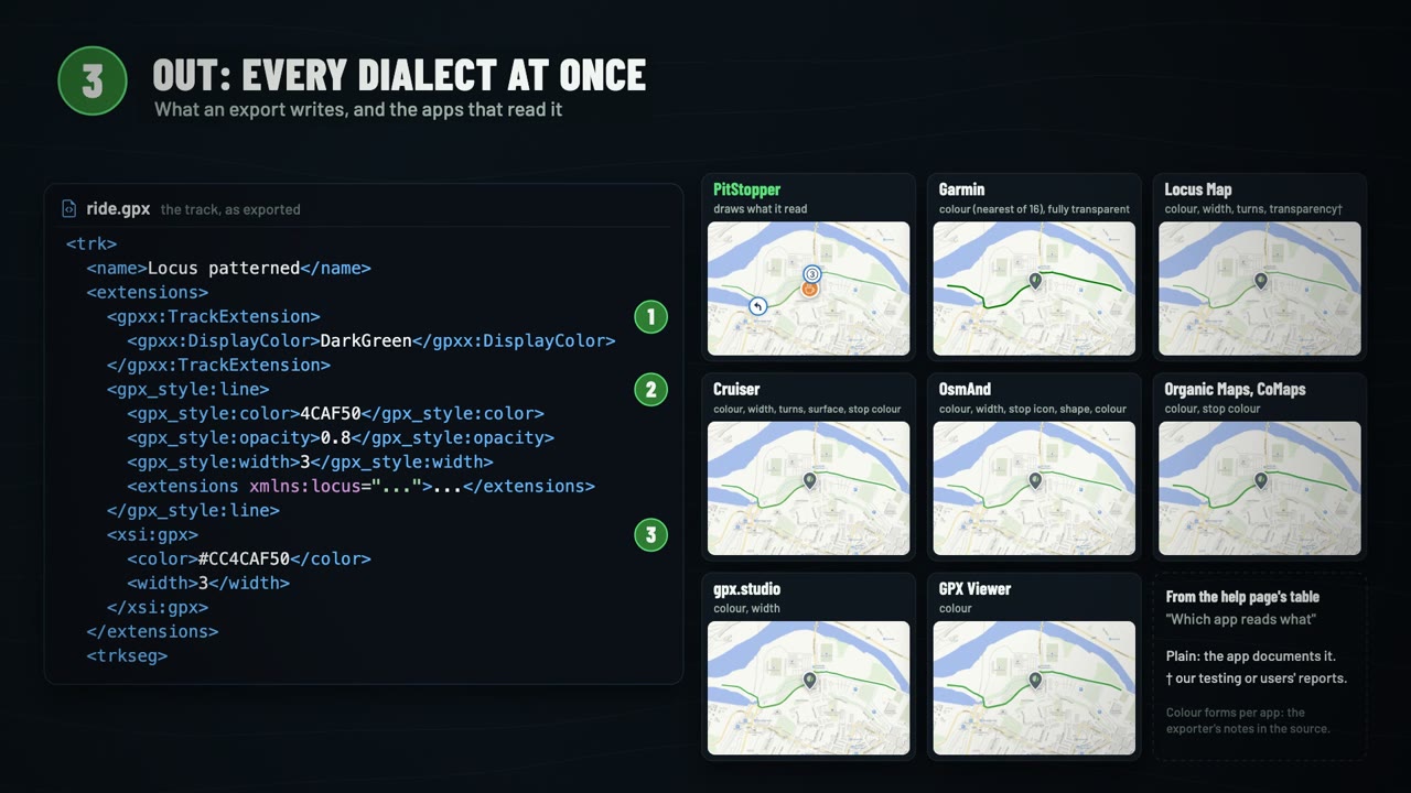 What's inside a GPX file, and how PitStopper reads the extras
3:00
What's inside a GPX file, and how PitStopper reads the extras
3:00